Hit enter to search or ESC to close
Close Search
Menu
Home
Annual Meeting
El Camino Real Day
About Us
About Us
Programs
Projects
Member Resources
ElCaT Community Chapters
Association Bylaws
Minutes
Recent Financial Statements
Contact Us
Travel the Trail
Interactive Maps
Images
Map Gallery
Camino Real Traveling Exhibit
South Texas Region
San Antonio – Goliad Region
Brazos Region
East Texas – Caddo Region
Join Us!
Join/ Renew Membership
Pioneers
Other ways to Support
Trail History
Trail History
The Four Trails
4th & 7th Grade TX History Lesson Plans
Camino Real Traveling Exhibit
News & Events
News & Events
Press & Media
Reference Materials About The Trail
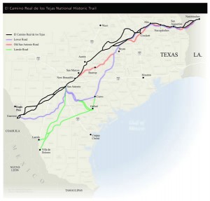
Overview Map of the Trail
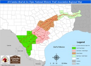
Regional Map of the Trail
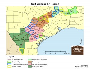
Current and Pending signage locations along the Trail
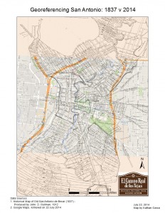
Georeferenced Map of San Antonio from 1837 over Google Maps (2014)
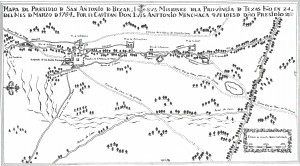
Luis Antonio Menchaca’s Mapa del Presidio de San Antonio de Bexar (1764)
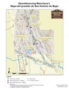
Menchaca’s Mapa del Presidio georeferenced over Google Maps (2014)
Close Menu
Home
Annual Meeting
El Camino Real Day
About Us
About Us
Programs
Projects
Member Resources
ElCaT Community Chapters
Association Bylaws
Minutes
Recent Financial Statements
Contact Us
Travel the Trail
Interactive Maps
Images
Map Gallery
Camino Real Traveling Exhibit
South Texas Region
San Antonio – Goliad Region
Brazos Region
East Texas – Caddo Region
Join Us!
Join/ Renew Membership
Pioneers
Other ways to Support
Trail History
Trail History
The Four Trails
4th & 7th Grade TX History Lesson Plans
Camino Real Traveling Exhibit
News & Events
News & Events
Press & Media
Reference Materials About The Trail